CREDITS: I would like to thank Jeremy D'Entremont for providing much of the history one can find on this site. He is a speaker, author, historian, and tour guide who is widely recognized as the foremost authority on the lighthouses of New England. For a story on Jeremy or to visit his site (New England Lighthouses: A Virtual Guide), use the corresponding link in the right hand information bar under "Related Links".

Search for Lighthouses

Introduction

I have set up this site as a means to share my photographs of lighthouses. Since retiring and finding more time to study photography, my interests have expanded a little. For some of my work other than lighthouses please enjoy my Facebook page at, John Shaw Photography. Come visit, enjoy, and 'LIKE' if you wish.

Also, for your enjoyment, I have provided a slideshow of our journey. To view it please use the link on the right under 'Site Navigation Tools'.


I sincerely hope you enjoy my efforts and use my site not only for information and education but also to provide directions for many enjoyable, inspirational visits to the beacons along our beautiful coas.

Tuesday, March 25, 2014

Ram Island Lighthouse

     Ram Island’s fascinating history is replete with tales of ghosts and shipwrecks. The island—likely probably named for the large number of sheep (including rams) pastured there in centuries past—is part of a small archipelago of several islands, just west of the northern tip of the much larger Fisherman Island, on the south side of Fisherman Island Passage.


     The history of aids to navigation on Ram Island began in the mid-1800s when a fisherman, after narrowly escaping the dangerous rocks near the island, began hanging a lantern at night for the benefit of local mariners. The fisherman left the area after a number of years and the lantern was kept by a second keeper, then a third.

     The third lantern keeper anchored a dory and rigged the lamp in its bow. It became the custom for the last fisherman coming into the harbor each day to light the lantern. This ended when the dory was smashed in a storm.

     For a time, the lone resident of Fisherman's Island maintained a lantern. Apparently the light he displayed was too weak, causing an increase in wrecks. Once when a schooner was in danger of coming up on the rocks the fisherman got a line to the vessel and the crew managed to escape to the shore. Soon there was another wreck in which most of the crew were killed.

     For some years after this, there was no light on Ram Island. Locals talked of ghosts that warned vessels away from the dangerous rocks. Robert Thayer Sterling, in his book Lighthouses of the Maine Coast and the Men Who Keep Them, tells several eerie stories of Ram Island. One captain swore he was warned by a fog whistle at Ram Island during a snowstorm, which was impossible since there was no such signal there. Another fisherman was in danger of running into the rocks when he saw a burning boat and changed his direction. The next day he saw no trace of the mysterious vessel.


     On another unusually dark night, a sailor was approaching Ram when he saw a woman in white waving a lighted torch over her head. The sailor veered off just in time to avoid being dashed on the rocks. Finally, a schooner helmsman claimed that a bolt of lightning illuminated the area moments before the vessel would have struck the ledges.


     Congress finally appropriated $25,000 for a lighthouse in 1882. The light went into service on November 5, 1883. Soon after that, a severe hailstorm broke the lantern glass and the lamp was blown out by the wind. The keeper tried to keep the light going through the night by shielding it with newspapers.

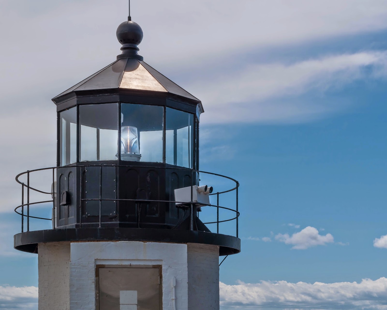
     The brick lighthouse, with a granite base, is very similar to the towers at Marshall Point and Isle au Haut. The tower was erected some yards offshore and a wooden walkway connected it to the island.

     The light was automated in 1965 and the Coast Guard keepers were removed. The station soon fell victim to vandals. The house was damaged, and in 1975 the fourth-order Fresnel lens was stolen. The lens was eventually recovered, and it's now at the museum of the Boothbay Region Historical Society.


     In 1977, the Coast Guard repaired the lighthouse for $44,000 and removed the walkway, which had fallen into disrepair. During this renovation, 14,000 bricks were replaced in the tower and the masonry base was repointed. The cast-iron lantern was removed and renovated.

     The boathouse was destroyed in the great blizzard of February 6-7, 1978.

     The light station was offered to the town of Boothbay, but the high maintenance costs convinced town officials to decline the offer. In 1983, the keeper's house was slated to be destroyed when the Grand Banks Schooner Museum Trust, associated with the Boothbay Railway Museum, stepped in and leased the station except for the tower. Under the Maine Lights Program, the property was transferred to the Grand Banks Schooner Museum Trust in 1998.


     The Ram Island Preservation Society, part of the Grand Banks Schooner Museum Trust, has restored the house. In late 2002, they reconstructed the walkway from the shore to the lighthouse tower.

     Directions:  From U.S. 1 take ME 27 south to Boothbay Harbor.  Then take ME 96 east and south to Ocean Point and follow the shoreline loop road.  Along that road there are numerous points to view the lighthouse across FishermanIsland passage.  Ram Island Light can also be seen from many of the tour boats out of Boothbay Harbor and Bath.

     CreditsI would like to thank Jeremy D'Entremont, webmaster of, http://www.newenglandlighthouses.net/, for sharing the above history.  Jeremy is a speaker, author, historian, and tour guide who is widely recognized as the foremost authority on the lighthouses of New England.  To view a story on him, go to, (Jeremy D'Entremont).  


Go to Home Page

Monday, March 24, 2014

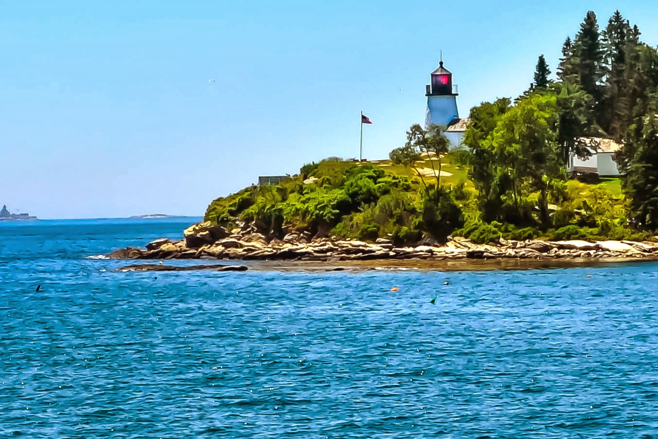
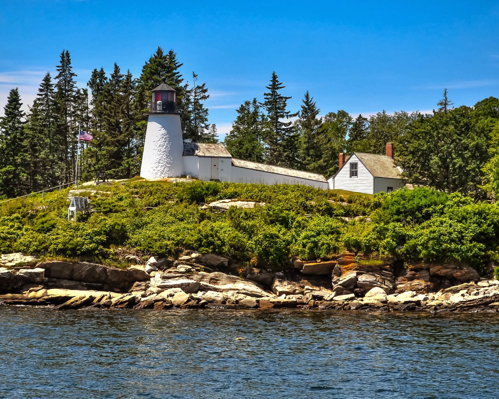
Burnt Island Lighthouse

     The town of Boothbay—originally known as Townsend and encompassing an area that now includes the towns of Boothbay, Boothbay Harbor, and Southport—was a center for shipbuilding, gristmills, and fishing in the 1700s. In 1764, local mariners and merchants petitioned the government for a lighthouse on Damariscove Island, five miles south of Boothbay Harbor.

     The petition stated that a lighthouse at that location would serve to guide vessels to the Sheepscot River and Boothbay, and would also help those vessels passing along the coast. Two vessels, according to the petition, had been wrecked at Damariscove Island in the previous winter with some loss of life.


     Damariscove Island never got a lighthouse, and soon the Revolution and the War of 1812 slowed the local economy. Coastal trade and fishing were again on the rise by 1820. On March 3, 1821, Congress appropriated $10,500 for three lighthouses on the Maine coast, one of them on Burnt Island at the west side of the entrance to Boothbay Harbor.


     The rubblestone tower, 20 feet tall to the base of the lantern, was accompanied by a small keeper’s house, also constructed of stone. The tower was topped by an octagonal wrought-iron lantern, seven feet high, containing lighting apparatus consisting of 10 whale oil lamps and corresponding 13-inch reflectors. The light went into service in November 1821.


     A walkway between the tower and house was also added in 1857. The boathouse and oil house that still remain were built in 1880 and 1899 respectively. A fog bell tower and a 1,029-pound bell with automatic striking machinery, were added in 1895.


      In February 1998, as part of the Maine Lights Program, the Maine Lighthouse Selection Committee approved the transfer of Burnt Island Light to the Maine Department of Marine Resources. Grants from the Stephen and Tabitha King Foundation, MBNA, and the Davis Foundation helped launch the restoration of the station.

     A public tour and educational program is offered in summer. The Novelty, located at Pier 8 in Boothbay Harbor, serves as the ferry to the island.


     Directions From U.S. Rt. 1 take ME 27 south into Boothbay Harbor.  All tour boats pass the   light.  To view the light from shore, take ME 27 north to Union St.  Turn right then right again at Atlantic Ave.  Continue past Lobster Cove Rd. and Roads End Rd. to Grand View Rd.  The lighthouse may be seen from several points along that road heading to the Spruce Point Inn.  Or, take Commercial St. to the Tugboat Inn.  The light can be seen from the docks there.  Morning light is best for photographs.

Go to Home Page


Sunday, March 23, 2014

Pemaquid Point Lighthouse


     Pemaquid Point, with its dramatic streaks of granite reaching to the sea, shaped by massive movements thousands of years ago, would be a fascinating place to visit even without its pretty white lighthouse. The spot is one of the most frequently visited attractions of the Maine coast, receiving about 100,000 visitors each year.


     The name “Pemaquid” is said to have had its origins in an Abenaki Indian word for “situated far out.”


     Immigrants from Bristol, England, established a settlement at Pemaquid in 1631. The village had as many as 200 people by the 1670s, but Abenaki Indians burned it during King Philip’s War. The settlement was rebuilt but suffered further attacks from the Indians and the French, and it was abandoned before 1700. It was resettled in 1729. Today, the area is part of the town of Bristol, incorporated in 1765.


     The point, at the entrance to Muscongus Bay to the east and Johns Bay to the west, was the scene of many shipwrecks through the centuries, including the 1635 wreck of the British ship Angel Gabriel. 


In May 1826, as maritime trade, fishing, and the shipping of lumber were increasing in midcoast Maine, Congress appropriated $4,000 for the building of a lighthouse at Pemaquid Point.


The original stone tower didn’t last long, possibly because Berry may have used salt water to mix his lime mortar. The contract for a new tower in 1835 stipulated that the mortar was “never to have been wet with salt water.” A conical stone tower was built that year by Joseph Berry of Georgetown, who was the nephew of the builder of the first tower. 


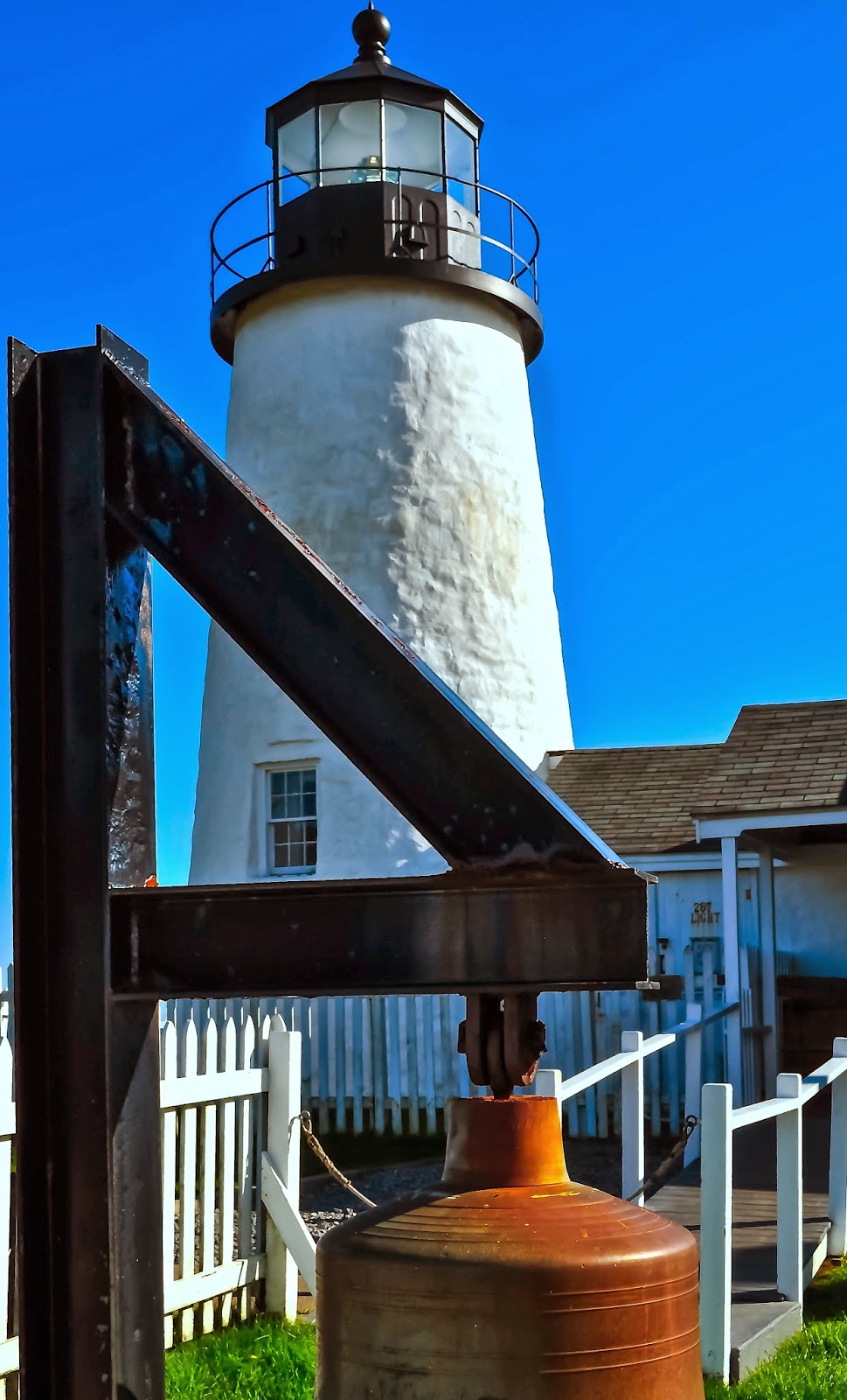
     A fog bell was added to the station in 1897, and steam engines were installed to operate the bell. Apparently this system didn’t work very well, because in 1899 a striking machine was installed, powered by a hand-cranked clockwork mechanism. The bell house built in 1897 was adapted with the addition of a tall tower to enclose the weights for the new mechanism.


     The museum opened in 1972 and has been operated since then by volunteers from the local area. The museum houses exhibits on the history of the local fishing and lobstering industries, as well as pictures of all the lighthouses on the Maine coast and a fourth-order Fresnel lens from Baker Island Light. 


     In 1960 a Pemaquid Group of Artists added an art gallery to Lighthouse Park.


      Pemaquid Point Light became the first lighthouse ever to ever appear on American currency in 2003, when its image appeared on the official Maine quarter. 

     Among the speakers at a dedication held at Lighthouse Park were Maine’s Governor John Baldacci, Henrietta Holsman Fore, director of the U.S. Mint, and American Lighthouse Foundation President Tim Harrison.


     Volunteers of the Friends of Pemaquid Point Lighthouse (a chapter of the American Lighthouse Foundation) manage the tower only. Volunteers open the tower in season (Memorial Day to Columbus Day) to the public every day from 10:00 a.m. to 5:00 p.m. There is no charge to climb the tower but donations are welcomed. 


     Directions:  From U.S. Route 1 in Damariscotta, turn onto ME 129/130 and follow ME 130 south to it's end at Pemaquid Point.  Aflternatively, from U.S. 1 in Waldoboro, turn south onto ME 32 and follow this route through New Harbor to the junction of ME 130.  Turn south (left) onto ME 130 and follow the road to it's end ayt Pemaquid Point.  To view the lighthouse by boat, cruises are available out of Boothbay Harbor or from the Maine Maritime Museum in Bath.  Different photographs can be taken using the light during varying times of the day.  A must visit!

Go to Home Page


Saturday, March 22, 2014

Franklin Island Lighthouse

  "In Muscongus Bay we could see the lonely tower
of the light on Franklin Island." - Arthur Poland


     Twelve-acre Franklin Island, at the entrance to Muscongus Bay, is about six miles from the town of Friendship and about midway between Pemaquid Point and Port Clyde. Maritime trade was booming in the early 1800s in the vicinity of Muscongus Bay and the St. George River, and many vessels were wrecked on the treacherous rocks near Franklin Island.


     The Franklin Island lighthouse station was the first of many established in Maine in the 1800s.  Congress authorized a lighthouse on the island on April 21, 1806, and the buildings were completed in early 1807.  The lighthouse and dwelling were rebuilt in 1831.  The new rubblestone tower was 31 feet high to the lantern deck, and the octagonal wrought iron lantern was fitted with 10 lamps and 13-inch reflectors.

     The Portland Head and Seguin Island stations, built in the 1790s, are the only others in Maine to pre-date Franklin Island. The original daymarker was replaced in 1855 by the existing 45 foot, cylindrical, brick tower.  Located on the northwest side of Franklin Island at the mouth of Muscongus Bay, 27 of Maine's lighthouses were not yet even built by the time the Franklin light was in need of renovation.  The light was automated and the keeper's house demolished in 1967.

     Management of the site was contracted to a private, non-profit organization named Franklin Light Preservation, Inc., under a contract with the Coast Guard. The island is part of the Maine Coastal Islands National Wildlife Refuge, and the light remains an active aid to navigation.  Located roughly 6.5 miles southwest of Port Clyde, the Franklin Island lighthouse grounds are open to the public but are only accessible by boat.

Go to Home Page

Friday, March 21, 2014

Marshall Point Lighthouse


      Port Clyde, one of the villages that comprise the town of St. George, became a busy port in the 1800s with granite quarries, tide mills for sawing timber, shipbuilding facilities, and fish canning businesses. The area later became a magnet for writers and artists. Sara Orne Jewett's popular book The Country of the Pointed Firs was written in St. George.


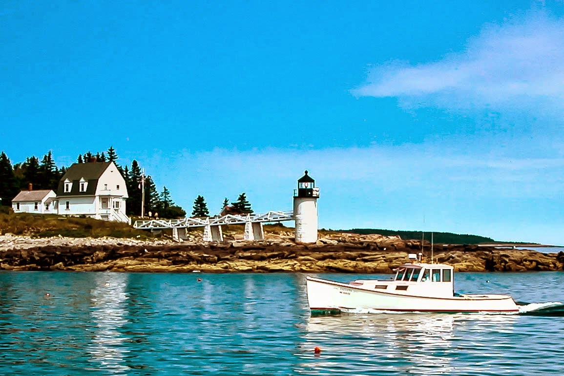
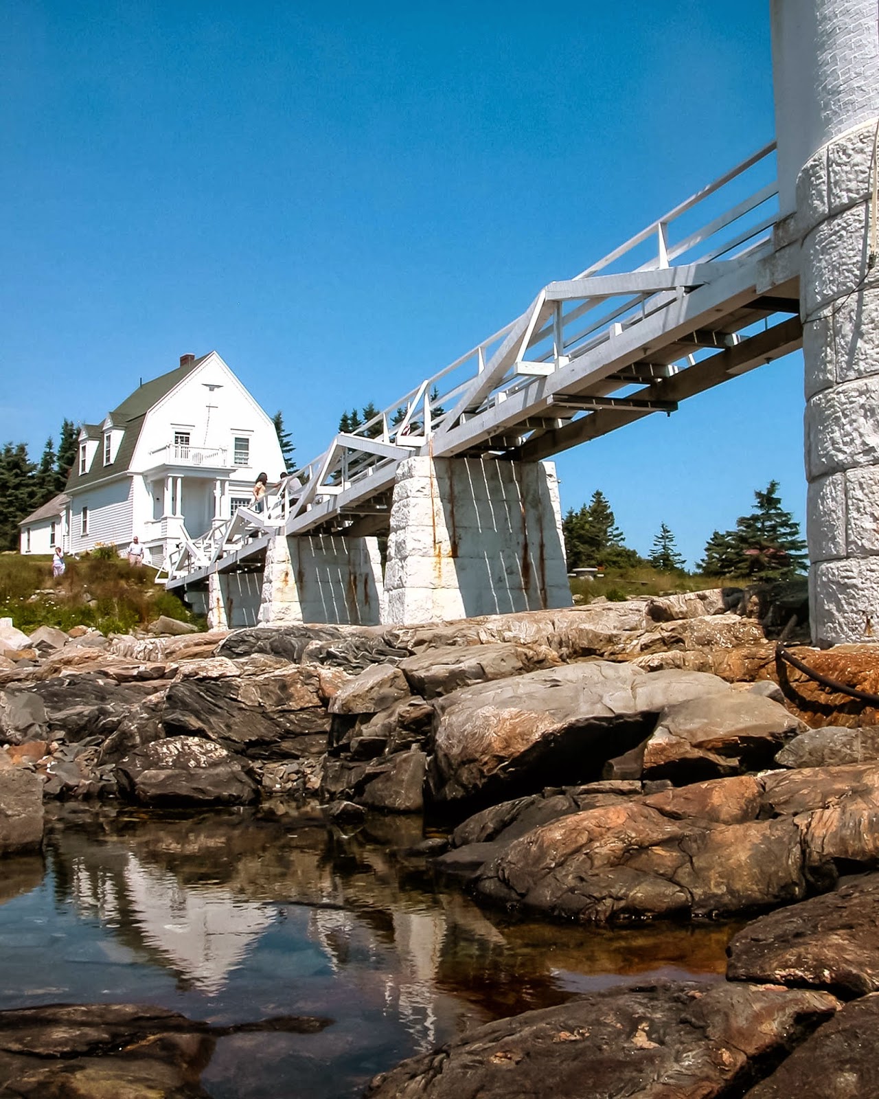
          The Marshall Point light is 31 feet tall and was built in 1857. It marks the entrance of Port Clyde Harbor and at least one other light has been in this location. The light is rather unusual in that the bottom half is made of granite from the local quarries but the top half is brick. It originally had a 5th order Fresnel Lens but of course that is long gone. The first keeper's house was thwacked by lighting long ago and a new one was built in the some location.


     The light was converted to electricity in 1935. When the light was automated in 1971, the Fresnel lens was removed and replaced by a modern plastic lens equipped with backup battery power. Also in 1971, a LORAN station was located in the keeper's house. This station sent a 128,000 watt signal over a range of 14,000 square miles. In 1980 the equipment was outdated and the house was boarded up.

     In 1986, the St. George Historical Society undertook the restoration of the house. A committee raised money and the restoration was completed in 1990. The first floor now houses the Marshall Point Lighthouse Museum. The exhibits highlight area history as well as life at Marshall Point.
    Port Clyde is actually a small fishing village in the larger, but still small town of St. George. The whole area around the lighthouse is a beautiful place all year long with views of Port Clyde Harbor and the surrounding hills. A great place to yak, hike, ski or bike..


     Or perhaps run.

     In fact this is the lighthouse where Tom Hanks finished up his run across country in the 1994 movie Forrest Gump. That's why some of the local people around Port Clyde call this lighthouse Gump Light.  A picture of Hanks at the lighthouse hangs in the museum.

                                      Click to see video of Forrest Gump’s Run


     Directions From U.S. Route 1 in Thomaston, take ME 131 south through St. George and Tenant’s Harbor to Port Clyde.  Turn Left at the “Marshall Point Museum” sign (Dick Cliff Road).  Continue up the hill, passing another sigh for the museum, and turn right onto Marshall Point Road.  Pass the “Dead End” sign and two stone pillars on either side of the narrowing road.  The road ends at the lighthouse parking area.


Go to Home Page

Thursday, March 20, 2014

Two Bush Island Lighthouse

       Established in 1897 to mark the entrance to Two Bush Channel in Penobscot Bay, Two Bush Island Light was an isolated and rough assignment for keepers. The island was named for two lone bushes or trees, now gone, that served as day beacons before the building of the 42-foot-tall square lighthouse.


     During a storm in March 1902, a fishing schooner, the Clara Bella, was in danger of being smashed on the rocky shores of Two Bush Island. The two men aboard took to a dory as a leak opened up in the schooner.

     The men were desperately trying to find a way to land on the island when they heard Smut's, the keeper’s dog, frantic barking. The schooner's captain later said that the barking was like music coming from an angel. Keeper Norton, alerted by the dog, ran to the shore and saw the men in the dory. He tried to guide them to a safe landing, but their boat was overturned by a wave. The keepers managed to get a line to the men and hauled them ashore. Smut eagerly licked the faces of the fishermen, who later offered to buy the dog at any price. The keeper refused to sell.


     The four-mile trip from Two Bush Island to the mainland was usually uneventful in summer, but it could be treacherous in winter. There is no protected landing area on the island, so the station's power boat was not kept in the water in winter. Instead, a 14-foot "double-ender" boat with a round bottom was used. This boat could only be launched when the sea was relatively calm, and it had to be hoisted in and out of the water with a winch.  If a keeper was able to make it ashore in winter, he still had a seven mile drive to Rockland for supplies.


     In January 1923 there were 21 snowstorms in the vicinity, and the following month the temperature hit zero for 18 days in a row. A lifesaving crew from Whitehead Island had to smash their dory through the ice to get provisions to Two Bush Island. Darrell Mann later described a winter trip from the island to the mainland during one of the times that much of the bay was frozen over. Darrell and his father, Keeper Leland Mann, enlisted the help of two fishermen. Dressed in hip boots, heavy woolen mittens, heavy wool stockings, oilskins, and wool hoods covering all but their nose, mouth, and eyes, they hauled the double-ender across the ice. When their feet broke through the ice, they would hold on to the sides of the boat for dear life and slide along until they reached solid ice again.


      Two Bush Island Light was automated in 1964 and the keepers were removed. In 1970, the Coast Guard allowed the Green Berets to destroy the keeper's house, seen below, as a demolition exercise.


     The light was converted to solar power in the summer of 2000.  The lighthouse, still an important aid to navigation, now stands alone on the stark island. Under the Maine Lights Program, the lighthouse became the property of the U.S. Fish and Wildlife Service in 1998. The lighthouse can be seen only by boat or from the air.


     Directions:  The lighthouse can best be photographed on a lighthouse cruise out of Port Clyde.  Morning light in most cases would be the best light for shooting.

Go to Home Page

Wednesday, March 19, 2014

Tenants Harbor Lighthouse

     Tenants Harbor, one of the villages that makes up the town of St. George, grew up around a sheltered harbor on the east side of the St. George peninsula, at the southwest end of Penobscot Bay. With fishing and granite quarrying flourishing in the area, Congress appropriated $4,500 for a lighthouse on 22-acre Southern Island, at the entrance to the harbor, in August 1854.


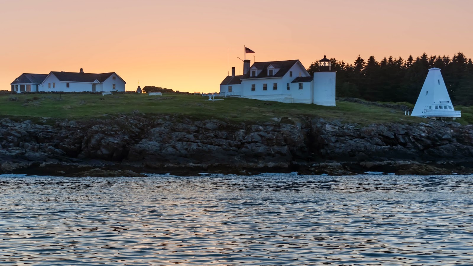
     The dwelling was originally painted brown and the tower was painted white, and the roof of the lantern and the ventilator ball were painted red. The tower is connected to the wooden keeper's dwelling by a small workroom. Later additions to the station included a boathouse in 1880, a storage shed in 1895, and an oil house in 1906. A small shed was built next to the kitchen wing of the dwelling in 1887. For some years, the light station had a hand-operated fog bell. A wooden pyramidal bell tower with automatic striking machinery was later added.


     In 1934, Tenants Harbor Light was one of a group of Maine lighthouses discontinued by the government and sold at auction. The lighthouse was bought by a Rockland resident. The island passed through several hands until artist Andrew Wyeth and his wife, Betsy James Wyeth, bought it in 1978. The Wyeths spent a number of summers on Southern Island. Betsy Wyeth told Architectural Digest in 1986, "I love everything about this house. Just walking into it refreshes me. It's like being on a ship-the brass polished, everything swept clean. I love the patterns of our life here."


     Andrew Wyeth, a history buff, designed a studio inside the base of the old 30-foot-tall bell tower. The room is a scaled-down version of Lord Nelson's quarters on the Victory. Since 1990, Betsy and Andrew's son, artist Jamie Wyeth, and his wife, Phyllis Mills Wyeth, have lived on the island. "It's like living in an Andrew Wyeth painting," Jamie Wyeth told National Geographic.


     In March 1993, Jamie Wyeth weathered a blizzard on Southern Island. He spent much of the storm in the lighthouse. "It was fantastic," he said. "It really blew a gale. There are vents in the lighthouse tower, and when the wind came screaming through it sounded like fifty metroliners."


     Tenants Harbor Light has appeared in a number of paintings by Andrew and Jamie Wyeth, including Andrew Wyeth's "Signal Flags" and "Iris at Sea," painted by Jamie Wyeth to raise funds for the Island Institute of Rockland.


     Directions:  Although the buildings can be seen distantly from the public landing a Tenants Harbor, trees often obscure any view of the light house.  The best views can be had by taking a lighthouse cruise out of Port Clyde.  Morning light is probably best for photography.

Go to Home Page